
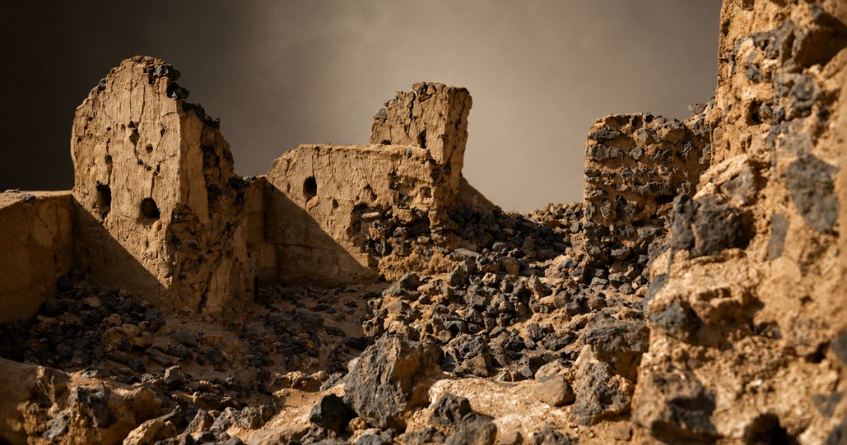
The stations of the Basra-Makkah route in Qassim are archaeological sites built as rest stops for pilgrims traveling from Basra in Iraq to Makkah Al-Mukarramah. Two main stations anchor the Qassim section: An-Nabaj, known today as Al-Asyah, and Dariyah Station. More than sixteen primary and secondary stations have been recorded along the stretch that crosses Qassim Province.
How the Basra-Makkah route was laid out
The route runs approximately 1,200 km and features twenty-seven main stations. It begins in Basra, moves through northeastern Arabia via Wadi Al-Batin, and crosses several desert areas. The hardest of those is Ad-Dahna’ Desert.
After the desert, the path enters Qassim Province, valued by travelers for its fresh water, fertile valleys and springs. Beyond Qassim, the route runs parallel to the Kufa-Makkah route until the two converge at Um Khurman station, also called Awtas, located ten miles from Dhat Irq.
Pilgrims were not the only users. Traders and travelers took the same path to reach destinations or settle business, which is part of why the infrastructure was maintained. Related paths are covered in this guide to historical Hajj routes.
The Basra-Makkah route in the Abbasid era
Most surviving construction along the route dates to the Abbasid period. During the first century, the Umayyad governors of Basra maintained it, most notably Al-Hajjaj Ibn Yusuf Al-Thaqafi, who used the route on his own journeys to Makkah and inspected the water at the stations.
Several Abbasid caliphs traveled the route for Hajj, among them Abu Jafar Al-Mansur and Harun Al-Rashid. Their use of the road helps explain the density and quality of the building work along it.
An-Nabaj station and its two paths
At An-Nabaj, pilgrims chose between two onward routes. The main one headed directly toward Makkah Al-Mukarramah, passing stations including Al-Awsaja, Ramah and Dariyah.
The secondary route ran from An-Nabaj to Al-Madinah Al-Munawwarah, passing Al-Hajj, Al-Humaimah, Al-Jafniah and An-Neqrah before intersecting with the Zubaydah Trail.
Landmarks along the An-Nabaj route
The main and secondary roads of the An-Nabaj section in Qassim are known for several landmarks: the An-Nabaj site itself, Al-Awsaja, Dariyah, Birkat Al-Hajj, Birkat Tafkha and Ramah. Water storage features prominently, which is expected on a desert corridor. Modern water investment in the same province continues, as with the SR1.1 billion water projects in Qassim.
Why the ancient Hajj routes mattered
These roads worked as bridges between Islamic countries, moving culture and knowledge alongside people. Convoys used them to reach Makkah and perform the fifth pillar of Islam.
Communities along the way benefited through trade and exchange. The network included the Iraqi, Syrian, Egyptian, Yemeni and Omani Hajj routes, among others. Their legacy is visible in heritage settlements such as Uyun Al-Jiwa in Qassim and Al-Ghazalah in Hail.
Frequently asked questions
How long is the Basra-Makkah route?
Approximately 1,200 km, with twenty-seven main stations along its full length.
What is An-Nabaj called today?
Al-Asyah, in Qassim Province.
Which caliphs used the route for Hajj?
Abbasid caliphs including Abu Jafar Al-Mansur and Harun Al-Rashid.
Following the route today
The stations survive as archaeological sites rather than functioning stops, and they are best approached as part of a heritage itinerary. Related reading includes ziyarat places in Makkah, the Makkah Province guide, and the history of Saudi Arabia. Excavation and conservation news is published by the Saudi Press Agency.
